SAFETY ALERT: Central Maine Heat Index Soars to Near Triple Digits Later This Week
Anyone else a little irritated that it took school starting for summer to actually make an appearance here in the Pine Tree State? No, just me?
To be fair, our summer wasn't actually that bad. Sure, we had quite a lot of rain through June and July, but I'll be honest, this was the greenest my grass has been since we bought our house in 2017. Even the patch near where the septic tank is that is usually brown and crusty was a luscious green color this year.
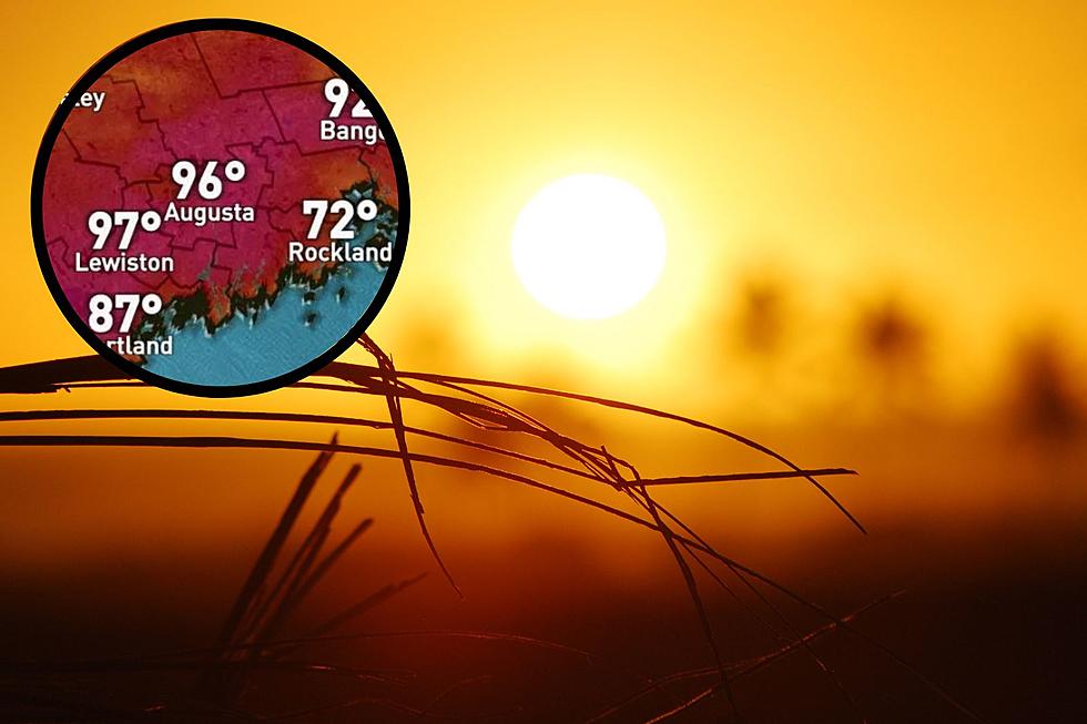
Anyway, enough about the color of the grass near where my poop goes. Let's talk about what's finna' happen with those temperatures this week. According to Christian Bridges from WGME 13, the heat index is going to be approaching the triple digits later this week in Central Maine.
What exactly is a heat index? Think about it like a reverse wind chill. In the winter time we always talk about what the actual temperature is going to be, but then we explain what the 'feels like' temperature is going to be. That's, in essence, what a heat index is. It will be an actual temperature, but there will be a 'feels like' temperature, too.
Every day this week is going to be hot by Maine in September standards, but it looks like the hottest heat (hottest heat?) is going to be on Thursday. And, with that hot heat, comes the potential for some strong storms, too.
WGME reports that while the temperature for Augusta will be around 88 on Thursday, the heat index temp will be closer to 97 degrees. Yeah, that's going to be hot. Also on Thursday is the chance for strong thunderstorms that could produce damaging winds, hail, heavy downpours and flash flooding.
Thanks a lot summer... better late than never I guess.
Maine's Anna Kendrick Over the Years in Photos
More From 92.9 The Ticket


